 New!
New!
 Outdoors
 Apparel & Accessories
 Footwear
 Firearms & Archery
 Safety
 Our Swag
 Body
Body
 Travel
 Trail Notes
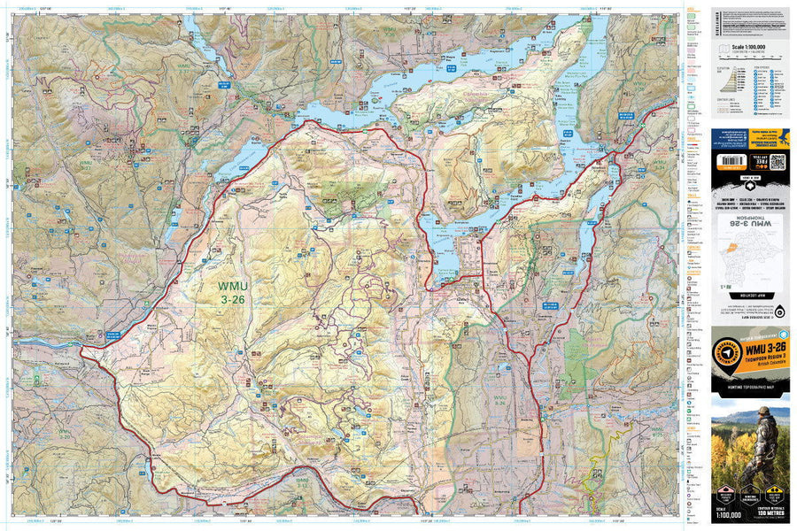
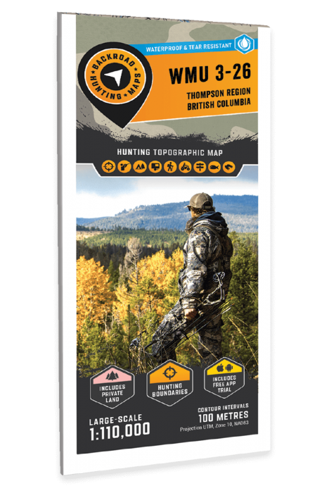
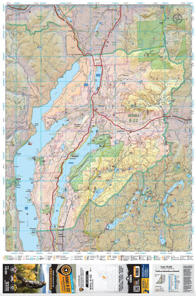
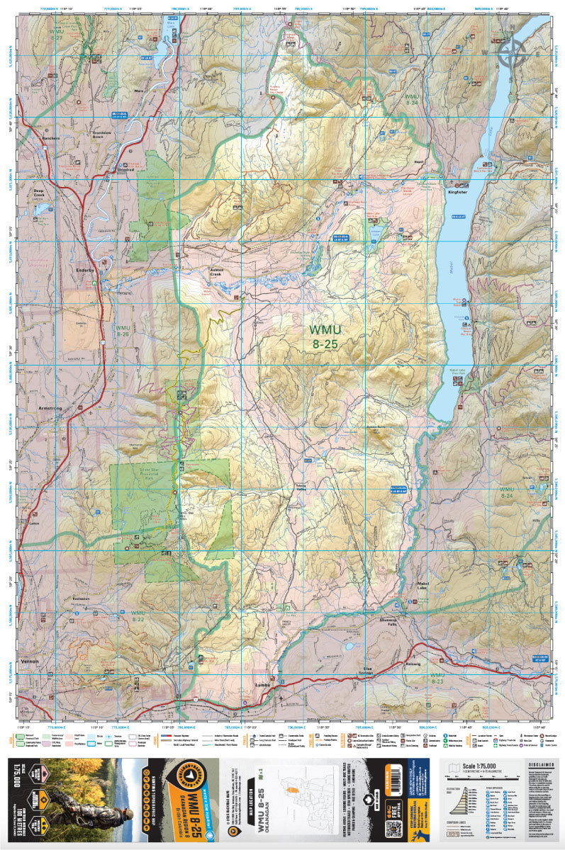
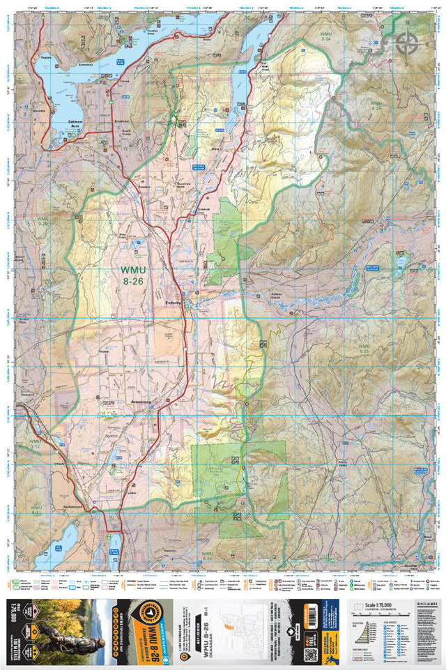

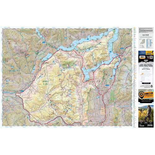
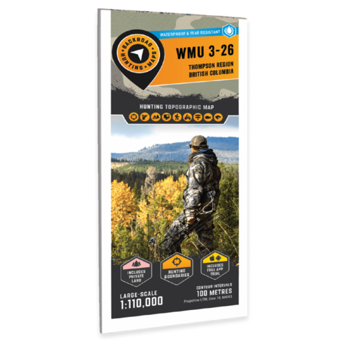
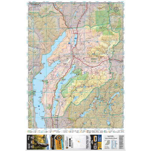
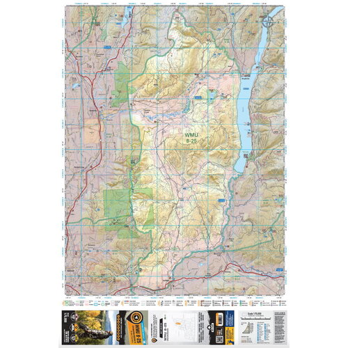
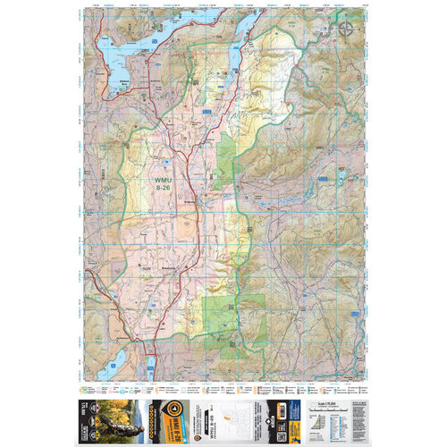
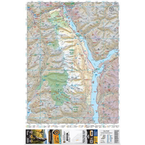
Hunting Topographic Map
The topographic hunting maps cover Wildlife Management Unit s in British Columbia. The printed version of the maps are displayed at 1:110,000 scale on 61 x 91 cm (24 x 36 in) paper on a durable waterproof synthetic material. Read more
WMU Hunting Topo Maps of BC
Featuring 1:20,000 scale water and road data from the popular Backroad Mapbook series, the maps clearly mark Wildlife Management Units, along with private land areas, Indian reserves and park areas. Updated road and trail systems, recreational points of interest, campsites, fish species and more make these the most detailed hunting maps available on the market.
The Wall Maps have been customized to display nicely and fit into common picture frame sizes so you can hang on the cabin, home or workshop wall. They are available in three different sizes and come printed on the waterproof synthetic material.
Print Features:
- Printed on a durable waterproof synthetic material.
- Includes industry leading cartographic detail and state-of-the-art relief shading
- Countless points of interest, trails, campsites, hunting management boundaries, private land/Crown land area and more!
- Easy to read, large-scale 61 x 91 cm (24 x 36 in) map at 1:110,000 scale
- Seamless map coverage requires no page turning